The map is now up on the Project: Backroads site (projectbackroads.com). It only has a handful of roads logged at the moment while I iron things out. I'll be updating the map and the site over the next week or so and I'm looking for any input you may have. Keep in mind this is my newborn wallaby and it's going to need some growing-up time. In other words, it's a clean slate right now. I'll fancy it up as we go.
You can leave your feedback in the comments section here or on the site, or you can email me at craig@projectbackroads.com. Thanks, all!
Wednesday, May 25, 2011
Saturday, May 21, 2011
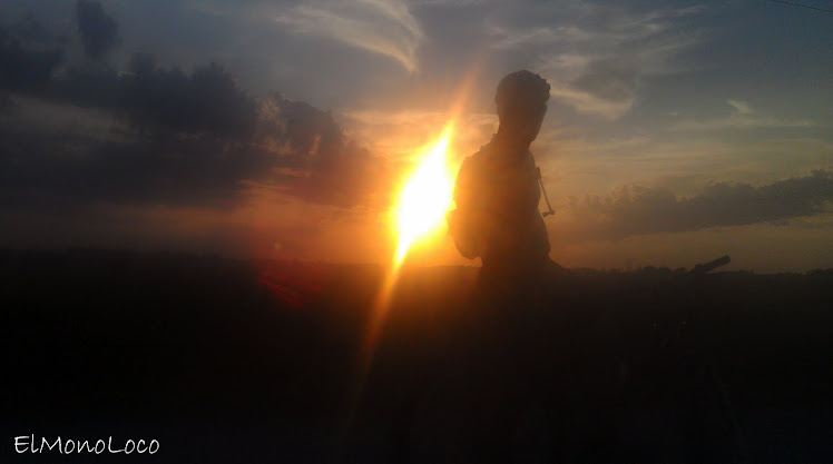
Must Be The End Of The World
Alright folks, Project: Backroads is up! Ok, so there's not a map posted yet. It'll be up there soon. What I do have however is a shiny new domain name and website for it. Predictably enough its:
projectbackroads.com
I'll start working on that map tonight. Right now I have to go clean some Royal residue off the Cross Check. I need it tip top for the rapture...
projectbackroads.com
I'll start working on that map tonight. Right now I have to go clean some Royal residue off the Cross Check. I need it tip top for the rapture...
Monday, May 16, 2011
By Sheer Will And Determination

Don, me and Zack at the finish of the Royal 162 gravel race. The time was 2am.
Three guys, 19 hours, 167 miles, 10k feet of climbing, self supported. Together we fought rain, wind, grit, grime and hypothermia. We had some incredible highs and we battled devastating lows. We got lost twice and nearly packed it in 25 miles from the finish. Individually I don't know that any one of us would have made it, but together we pulled through. Three guys determined to finish this race, regardless of what it took. None of us made it past the first check point at Trans Iowa. None of us was going to let that happen here. Soaked and shivering, we finished four hours past the cutoff. But we finished and that's all that mattered to us. This was the most meaningful race of my life.
The next morning I read that they cancelled the first stage of the Amgen Tour of California. Apparently there was some snow on the course. Nice...
Monday, May 9, 2011
Project Backroads update
This weekend I logged another B road along with a water crossing and a road that doesn't exist according to Google Maps. I had two more B roads and water crossings that I wanted to get to, but I had a pretty busy weekend and this was all I could get last night before the sun went down. The rest of this week will be pretty busy and I'm racing Almonzo this weekend so I doubt I'll get a chance to work on this any more until next week. When I do jump back on it I'll likely create a custom Google map with the info, pics and videos I've gathered so far and make them available. It's going to be crude at first, but it'll be something. Deb's son told me about a few other sites that might work for this project, so I'll check into those later. Until then, enjoy the teaser video.
Sunday, May 1, 2011
Project Backroads

That tree... It's in the middle of the "road".
Two things. First, I'm an idea guy. I have a ton of what I think are good ideas, a few of which might actually be. Only a handful usually ever see the light of day though since I'm easily distracted and the next shiny object is never far from sight. It's different when I'm on the job, but my time is my time and I feel I'm free to do what I want with it and leave as many projects half completed as I see fit. That being said, this one might have some staying power. For a while now I've thought about how cool it would be to map out and take pictures of all the B roads in Iowa and make them publicly accessible. It's not something I've found yet in my half-assed Google searches. I've found bits and pieces of info, but that's about it. Well, this weekend I finally got off my butt and started working on this project. Over two days I mapped out and took pictures of more that a dozen B roads across four counties. I rode a good chunk of them and will write up some descriptions as well. Right now I'm looking for a way to integrate them into Google Earth and make them publicly accessible, but that may not end up being the best way to do this so some research will go into it. Once I figure out at least a good starting point for this project, I'll start posting updates here. Ultimately I'm hoping this picks up traction and ends up being a community project. Still... Baby steps. Check back later this week for more on this endeavor.
Second, a quick ride update. Got in almost 100 miles of gravel and B roads this weekend. Logged another metric for the Cup O' Dirt, bringing my total up to 1 full and four metrics. Once I get a photo prepped, look for that on the COD site. Rides were your standard fare with extra B roads, although I was ignoring my nutrition today and paid the price with two good bonks. As anyone who does distance riding knows, there's a couple ways you can bonk. Sometimes they creep up on you and give you fair warning, and sometimes they jump out of the shadows and take you down ninja style. Today, the first one hit me like a shuriken to the jugular. As I started sucking down an emergency Gu I went back and counted my calories. The ride started off as a short trip to Dairy Queen with the lady and her son, but the next four hours after that saw me take in a grand total of 300 calories. Oops. Add to that the strong winds and an above average effort, and I'm surprised it didn't hit me sooner. That's the power of the chocolate dipped cone, I guess. The second one came near the end of my ride, but wasn't as bad. I recovered and finished off my ride a few miles later.
Next weekend I'm planning on hitting some more B roads around the Amanas. I know of a few good ones out there with some water crossings mixed in. I know of a few other areas to check out, but after that I'll start doing this adventure style. Should make for a good summer.
Subscribe to:
Posts (Atom)